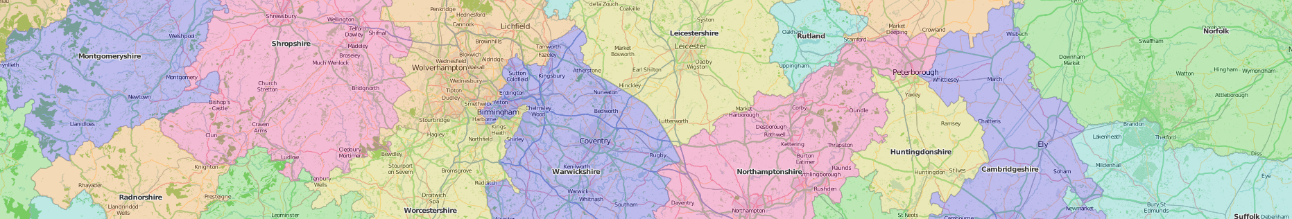

Wikishire Map.
This map conforms to the Historic Counties Standard.
It is free to use with the caveat that the following attributions are made:
Contains border data provided by the Historic County Borders Project © Historic Counties Trust.
Contains OpenStreetMap data © OpenStreetMap contributors.
Contains Ordnance Survey data © Crown credit and database right 2014–15.
Contains National Statistics data © Crown credit and database right 2014–15.
This website is developed and maintained for and on behalf of the British Counties Campaign by
Andrew Henshaw.